Planning and Environment Linkages (PEL) Study
EXIT 31
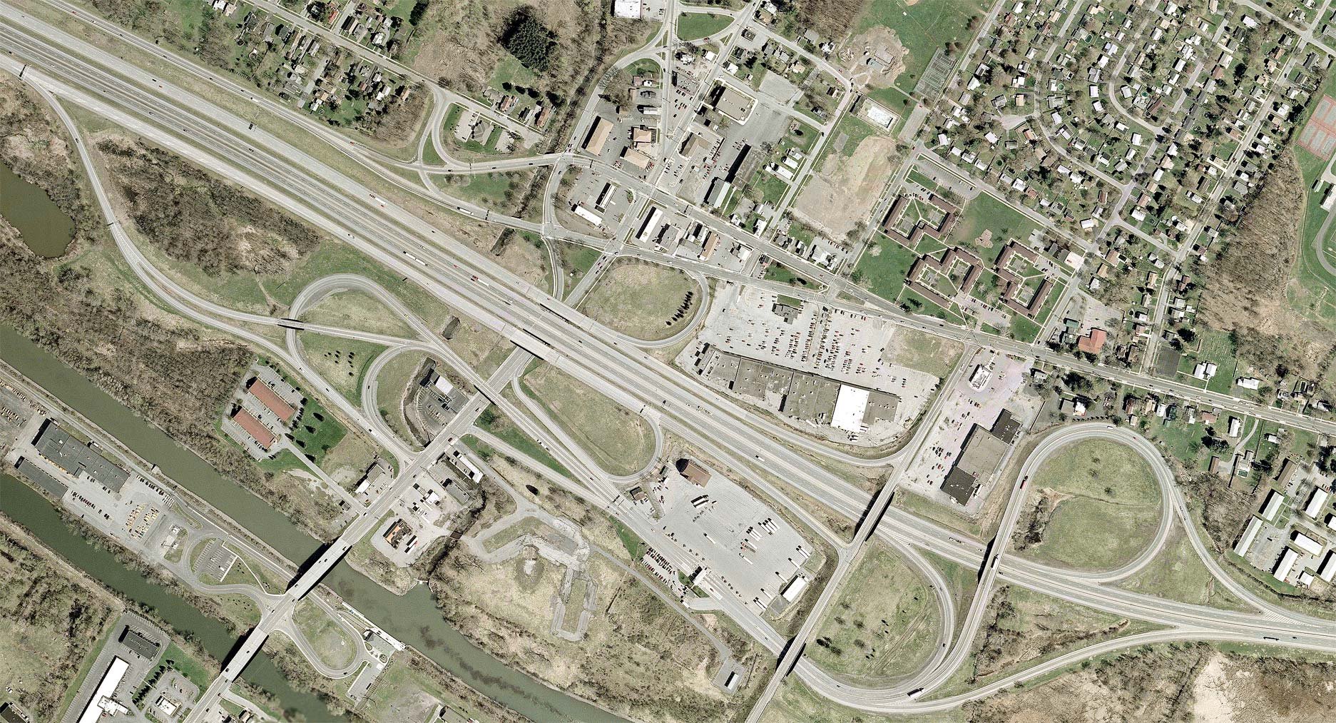
The Herkimer-Oneida Counties Transportation Council (HOCTC), in partnership with the New York State Department of Transportation (NYSDOT) Region 2, is undertaking a Planning and Environment Linkages Study centered on the New York State Thruway (I-90) Exit 31 Interchange at N. Genesee Street (NYS Route 921 C).
The focus of the Planning and Environment Linkages Study (hereafter referred to as the Study) is to develop conceptual design recommendations that:
Improve the roadway system connections between I-90, I-790, NYS Routes 5, 8,12, 49, and 921C (North Genesee Street);
Enhance multi-modal mobility and accessibility connections (bicyclists, pedestrians, and transit users) to the local roadway network, including North Genesee Street, Auert Avenue, Herkimer Road, Trenton Road, Coventry Avenue, Wurz Avenue, and Leland Avenue.
Exit 31 is a major regional interchange and commercial corridor, serving a unique blend of retail, commercial, light industrial, freight, entertainment, recreational, and residential uses. It is the gateway into North Utica, Downtown Utica, and the surrounding Mohawk Valley Region. However, in its current configuration, the interchange poses several safety and connectivity challenges for the traveling public. This Study will focus on clearly identifying safety issues and developing conceptual solutions.
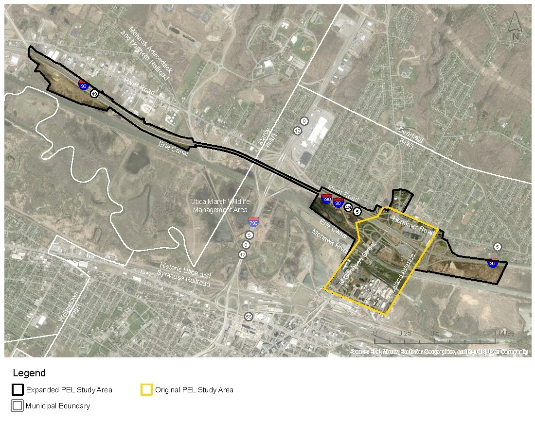
After carefully considering your feedback and coordinating with several involved agencies, the Study Area has been proposed to be expanded.
Issues and Opportunities
This interactive map shows several issues and opportunities identified by the public within and adjacent to the Study Area. You can view more details about these issues and proposed improvements by clicking on each dot on the map.
To share or interact with the map in full screen mode, please visit: https://tinyurl.com/bddsyk2z.

